Freefloat Tyrol 3D (Early Prototype Version 0.1)
FREEFLOAT TYROL 3D (EARLY PROTOTYPE VERSION 0.1)
Instructions:
1. Please be patient, loading time might be long on average machines.
2. Left-click once in the WebGL screen.
3. Use W and A - keys to toggle speed, press SPACEBAR to toggle 'Flight-Mode' ON or OFF. Fullscreen recommended (doesn't work on Safari, works best on Firefox).
4. Try floating from 'Nordkette'-mountain group (starting point) to 'Patscherkofel' (round mountain opposite of the 'Inntal'-valley). Landing is possible through turning off 'Flight-Mode' (press SPACEBAR).
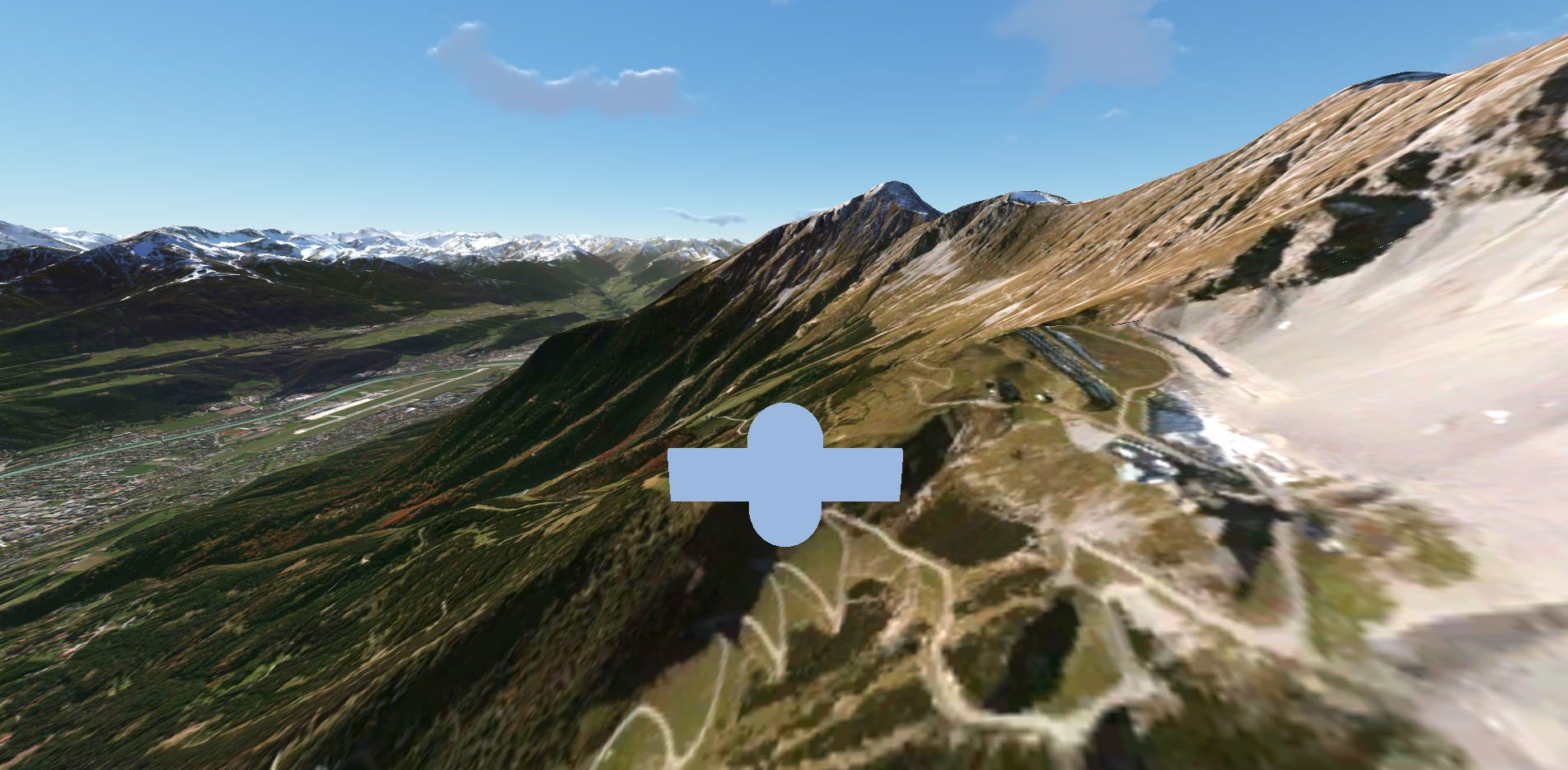
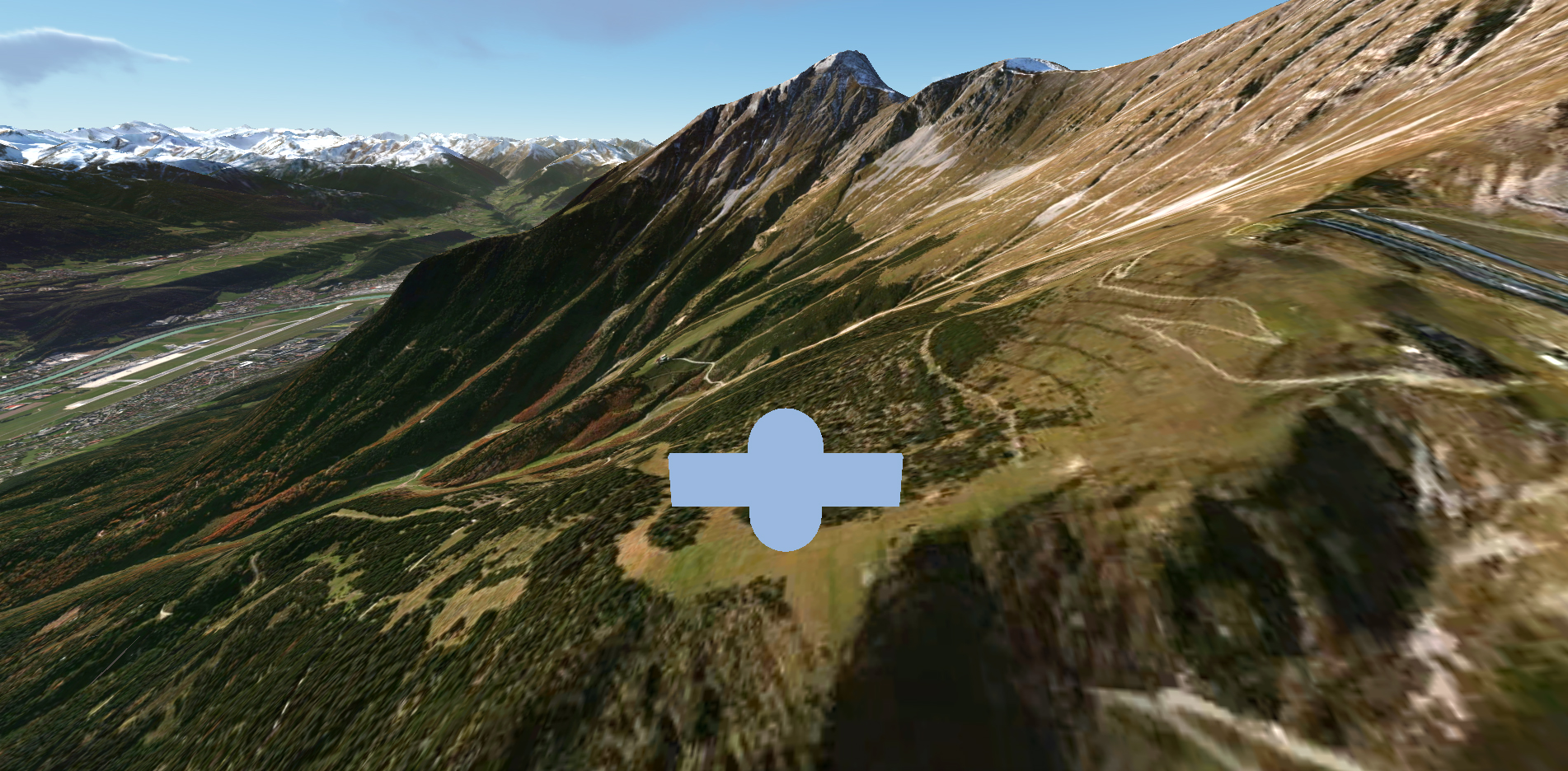
I am experimenting with Unity3D and real world terrain-data (height-maps / satellite images) at the moment and this is a very early prototype version 0.1 which enables you to free-float through my hometown region Tyrol in Austria. The terrain data was extracted from Bing Maps including height maps and hi-res satellite images. Right now I am figuring out where the limit lies concerning the view-range, image texture-size in combination with WebGL. This prototype consists of multi-resolution terrain data with very high resolution textures in the center of the map (Innsbruck, Tyrol, Austria) and very low resolution on the outer skirts. The view range is set to very high values. I tested this on Firefox and Chrome newest versions, Mac Pro (Mid 2010), Mac Book Air (i5, 1.3 GHz, 8 GB RAM). This prototype built serves as testing app for a planned VR-interface I'm currently working on together with Sebastian Pirch.
PLEASE NOTE: THIS WEBGL APP IS FOR EDUCATIONAL PURPOSES ONLY.
For those speculating: Nope, I'm not missing Tyrol, I used the terrain data because I know the height differences in real life, made it a lot easier to check accuracy. The next prototype version 0.2 terrain will be filled with secret satanic rituals and various other easter-eggs, i promise. Meanwhile enjoy the free-float.
Dev-Journal:


Leave a comment
Log in with itch.io to leave a comment.